
Purdy topographic map
Interactive map
Click on the map to display elevation.
About this map
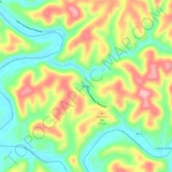
Name: Purdy topographic map, elevation, terrain.
Location: Purdy, Calhoun County, West Virginia, 26136, United States (38.92397 -81.15484 38.96397 -81.11484)
Average elevation: 263 m
Minimum elevation: 196 m
Maximum elevation: 349 m