
Thank you for supporting this site ❤️
Make a donation
Make a donation
Kudpan topographic map
Click on the map to display elevation.
Thank you for supporting this site ❤️
Make a donation
Make a donation
About this map
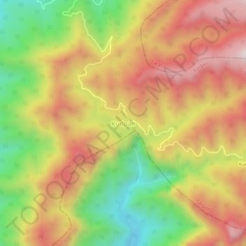
Name: Kudpan topographic map, elevation, terrain.
Location: Kudpan, Poladpur Taluka, Raigad, Maharashtra, India (17.86329 73.51144 17.90329 73.55144)
Average elevation: 619 m
Minimum elevation: 207 m
Maximum elevation: 985 m
Thank you for supporting this site ❤️
Make a donation
Make a donation