
Dhaurahra topographic map
Interactive map
Click on the map to display elevation.
About this map
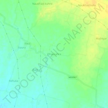
Name: Dhaurahra topographic map, elevation, terrain.
Location: Dhaurahra, Raghurajnagar Tahsil, Satna, Madhya Pradesh, India (24.65666 80.65134 24.69666 80.69134)
Average elevation: 325 m
Minimum elevation: 314 m
Maximum elevation: 337 m