
Thank you for supporting this site ❤️
Make a donation
Make a donation
Windhoek topographic map
Click on the map to display elevation.
Thank you for supporting this site ❤️
Make a donation
Make a donation
About this map
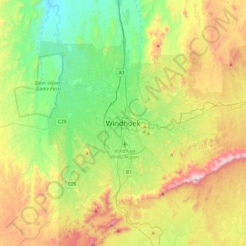
Name: Windhoek topographic map, elevation, terrain.
Location: Windhoek, Khomas, 10005, Namibia (-22.73439 16.91907 -22.41439 17.23907)
Average elevation: 1,807 m
Minimum elevation: 1,435 m
Maximum elevation: 2,467 m
Thank you for supporting this site ❤️
Make a donation
Make a donation