
Sun Valley topographic map
Interactive map
Click on the map to display elevation.
About this map
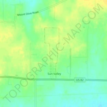
Name: Sun Valley topographic map, elevation, terrain.
Location: Sun Valley, Lamar County, Texas, États-Unis d'Amérique (33.66315 -95.43121 33.67612 -95.42687)
Average elevation: 166 m
Minimum elevation: 154 m
Maximum elevation: 177 m
Other topographic maps
Click on a map to view its topography, its elevation and its terrain.
Roxton
États-Unis d'Amérique > Texas > Lamar County
Roxton, Lamar County, Texas, 75477, États-Unis d'Amérique
Average elevation: 159 m