
Tamzugha topographic map
Interactive map
Click on the map to display elevation.
About this map
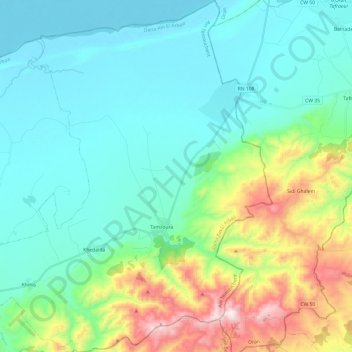
Name: Tamzugha topographic map, elevation, terrain.
Location: Tamzugha, Daïra Ain El Arbaa, Ain Tumuschant, 46240, Algerien (35.34106 -0.79547 35.53766 -0.58225)
Average elevation: 264 m
Minimum elevation: 77 m
Maximum elevation: 938 m