
Bastebjerg topographic map
Interactive map
Click on the map to display elevation.
About this map
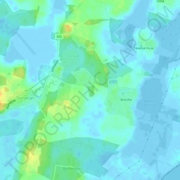
Name: Bastebjerg topographic map, elevation, terrain.
Location: Bastebjerg, Botofte, Tranekær, Langeland Kommune, Dänemark (54.99857 10.86405 54.99867 10.86415)
Average elevation: 5 m
Minimum elevation: -5 m
Maximum elevation: 27 m