
Mansfield topographic map
Click on the map to display elevation.
About this map
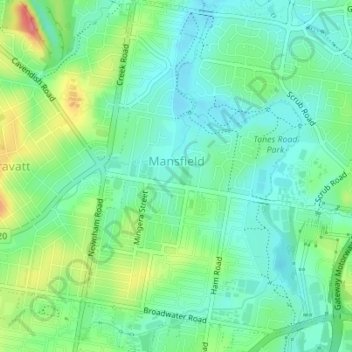
Name: Mansfield topographic map, elevation, terrain.
Location: Mansfield, Brisbane City, Queensland, Australia (-27.54819 153.09256 -27.51752 153.11971)
Average elevation: 34 m
Minimum elevation: 9 m
Maximum elevation: 88 m