
Una topographic map
Click on the map to display elevation.
Una
Una is located on the bank of the Machchundri river. It has an average elevation of 14 metres (46 feet). Kodinar is located to the west, and Diu is to the south. Una has the highest number of villages of all the Talukas in Gujarat state.
About this map
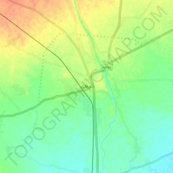
Name: Una topographic map, elevation, terrain.
Location: Una, Una Taluka, Gir Somnath, Gujarat, 362560, India (20.77989 70.99916 20.85989 71.07916)
Average elevation: 25 m
Minimum elevation: 8 m
Maximum elevation: 48 m