
Thank you for supporting this site ❤️
Make a donation
Make a donation
Seward County topographic map
Click on the map to display elevation.
Thank you for supporting this site ❤️
Make a donation
Make a donation
About this map
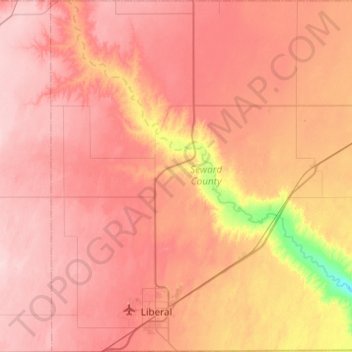
Name: Seward County topographic map, elevation, terrain.
Location: Seward County, Kansas, United States (36.99794 -101.06811 37.38776 -100.63293)
Average elevation: 866 m
Minimum elevation: 750 m
Maximum elevation: 928 m
Thank you for supporting this site ❤️
Make a donation
Make a donation