
Ballynabarney topographic map
Interactive map
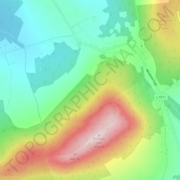
Click on the map to display elevation.
About this map
Name: Ballynabarney topographic map, elevation, terrain.
Average elevation: 241 m
Minimum elevation: 108 m
Maximum elevation: 454 m
Other topographic maps
Click on a map to view its topography, its elevation and its terrain.
The Municipal District of Gorey — Kilmuckridge
The Municipal District of Gorey — Kilmuckridge, County Wexford, Leinster, Irland
Average elevation: 58 m