
El Castellar topographic map
Click on the map to display elevation.
About this map
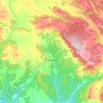
Name: El Castellar topographic map, elevation, terrain.
Location: El Castellar, Gúdar-Javalambre, Teruel, Aragon, Spain (40.34220 -0.91138 40.40593 -0.76895)
Average elevation: 1,370 m
Minimum elevation: 1,078 m
Maximum elevation: 1,747 m
Other topographic maps
Click on a map to view its topography, its elevation and its terrain.