
ຊໍ້ topographic map
Interactive map
Click on the map to display elevation.
About this map
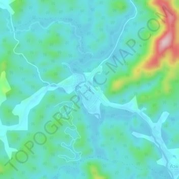
Name: ຊໍ້ topographic map, elevation, terrain.
Location: ຊໍ້, ເມືອງສັງທອງ, Préfecture de Vientiane, Laos (18.29676 102.08829 18.33676 102.12829)
Average elevation: 239 m
Minimum elevation: 186 m
Maximum elevation: 483 m