
Thank you for supporting this site ❤️
Make a donation
Make a donation
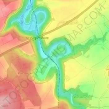
Ruine Neckarburg topographic map
Click on the map to display elevation.
Thank you for supporting this site ❤️
Make a donation
Make a donation
Ruine Neckarburg
Die Neckarburg ist die Ruine einer frühmittelalterlichen Höhenburg auf einem langgestreckten Umlaufberg bei Villingendorf im Stadtgebiet von Rottweil im Landkreis Rottweil in Baden-Württemberg. Sie ist im Besitz des Grafen von Bissingen und Nippenburg und die älteste Burganlage im Landkreis. Das Burgareal liegt innerhalb des Naturschutzgebiets Neckarburg. Landschaftlich reizvoll ist das wacholderbedeckte „Bergle“, das als Umlaufhügel im Tockental zurückblieb.
Thank you for supporting this site ❤️
Make a donation
Make a donation
About this map
Name: Ruine Neckarburg topographic map, elevation, terrain.
Average elevation: 589 m
Minimum elevation: 506 m
Maximum elevation: 661 m
Thank you for supporting this site ❤️
Make a donation
Make a donation