
Kham Jalgon topographic map
Click on the map to display elevation.
About this map
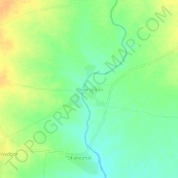
Name: Kham Jalgon topographic map, elevation, terrain.
Location: Kham Jalgon, Paithan, Aurangabad District, Maharashtra, India (19.57556 75.28433 19.61556 75.32433)
Average elevation: 478 m
Minimum elevation: 464 m
Maximum elevation: 494 m
Other topographic maps
Click on a map to view its topography, its elevation and its terrain.