
Thank you for supporting this site ❤️
Make a donation
Make a donation
Assergi topographic map
Click on the map to display elevation.
Thank you for supporting this site ❤️
Make a donation
Make a donation
Assergi
Assergi is a frazione of the comune of L'Aquila, located about 11 km (6.8 mi) from the capital. With a population of just over 500, it is situated at an altitude of approximately 1,000 meters, below the western slope of the Gran Sasso in a small plain called the Piana di Assergi (Plain of Assergi). Assergi was formerly included in the comune of Camarda, which is directly to its south.
Thank you for supporting this site ❤️
Make a donation
Make a donation
About this map
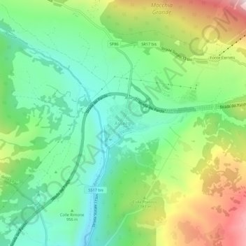
Name: Assergi topographic map, elevation, terrain.
Location: Assergi, L'Aquila, Abruzzo, Italy (42.39532 13.48718 42.43532 13.52718)
Average elevation: 1,035 m
Minimum elevation: 782 m
Maximum elevation: 1,509 m
Thank you for supporting this site ❤️
Make a donation
Make a donation