
Thank you for supporting this site ❤️
Make a donation
Make a donation
Eck topographic map
Click on the map to display elevation.
Thank you for supporting this site ❤️
Make a donation
Make a donation
About this map
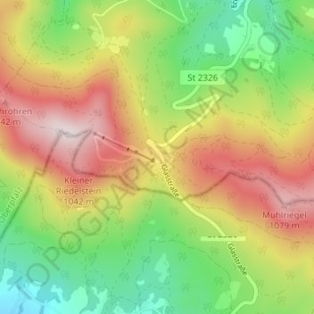
Name: Eck topographic map, elevation, terrain.
Location: Eck, Arrach, Landkreis Cham, Bayern, 93471, Deutschland (49.14311 12.97000 49.18311 13.01000)
Average elevation: 778 m
Minimum elevation: 504 m
Maximum elevation: 1,107 m
Thank you for supporting this site ❤️
Make a donation
Make a donation