
Llau / Lago topographic map
Interactive map
Click on the map to display elevation.
About this map
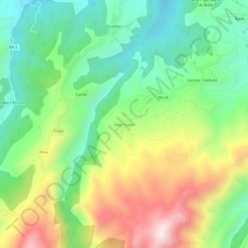
Name: Llau / Lago topographic map, elevation, terrain.
Location: Llau / Lago, Parres, Asturies, 33559, Espagne (43.31421 -5.20508 43.35421 -5.16508)
Average elevation: 353 m
Minimum elevation: 68 m
Maximum elevation: 818 m
Other topographic maps
Click on a map to view its topography, its elevation and its terrain.