
Hoegaarden topographic map
Interactive map
Click on the map to display elevation.
About this map
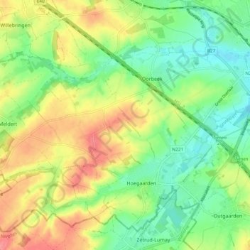
Name: Hoegaarden topographic map, elevation, terrain.
Location: Hoegaarden, Leuven, Flemish Brabant, Flanders, 3320, Belgium (50.76275 4.83115 50.81300 4.92429)
Average elevation: 71 m
Minimum elevation: 40 m
Maximum elevation: 111 m