
骆驼湾村 topographic map
Interactive map
Click on the map to display elevation.
About this map
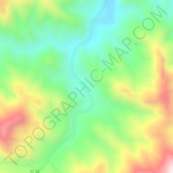
Name: 骆驼湾村 topographic map, elevation, terrain.
Location: 骆驼湾村, 龙泉关镇, 阜平县, 保定市, 河北省, 中国 (38.88928 113.84063 38.89254 113.84392)
Average elevation: 1,059 m
Minimum elevation: 830 m
Maximum elevation: 1,426 m