
Balāngīr topographic map
Interactive map
Click on the map to display elevation.
About this map
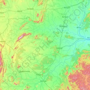
Name: Balāngīr topographic map, elevation, terrain.
Location: Balāngīr, Balangir, Odisha, Índia (20.11000 82.61000 21.39000 83.89000)
Average elevation: 251 m
Minimum elevation: 102 m
Maximum elevation: 1,000 m
Other topographic maps
Click on a map to view its topography, its elevation and its terrain.