
岬町 topographic map
Interactive map
Click on the map to display elevation.
About this map
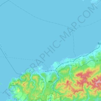
Name: 岬町 topographic map, elevation, terrain.
Location: 岬町, 泉南郡, 大阪府, 日本 (34.27182 135.02589 34.42448 135.20862)
Average elevation: 46 m
Minimum elevation: -8 m
Maximum elevation: 466 m
Other topographic maps
Click on a map to view its topography, its elevation and its terrain.