
Thank you for supporting this site ❤️
Make a donation
Make a donation
Clyde topographic map
Click on the map to display elevation.
Thank you for supporting this site ❤️
Make a donation
Make a donation
About this map
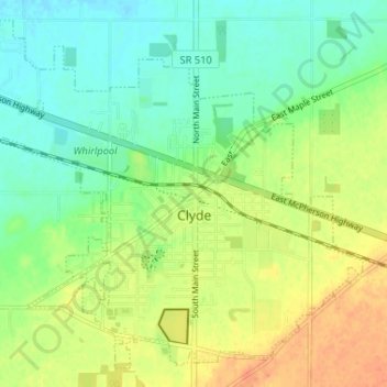
Name: Clyde topographic map, elevation, terrain.
Location: Clyde, Sandusky County, Ohio, 43410, United States (41.28466 -83.01176 41.32863 -82.94671)
Average elevation: 209 m
Minimum elevation: 193 m
Maximum elevation: 230 m
Thank you for supporting this site ❤️
Make a donation
Make a donation