
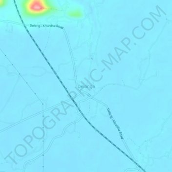
Delanga topographic map
Interactive map
Click on the map to display elevation.
About this map
Name: Delanga topographic map, elevation, terrain.
Location: Delanga, Puri, Odisha, 752015, India (20.04278 85.72829 20.08278 85.76829)
Average elevation: 9 m
Minimum elevation: 4 m
Maximum elevation: 134 m