
Thank you for supporting this site ❤️
Make a donation
Make a donation
Hasham khil topographic map
Click on the map to display elevation.
Thank you for supporting this site ❤️
Make a donation
Make a donation
About this map
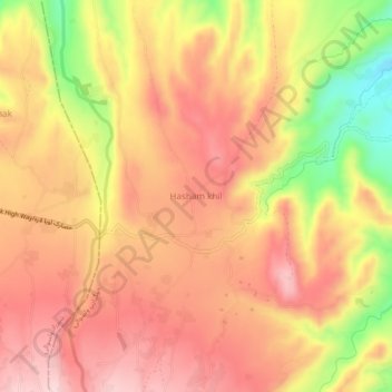
Name: Hasham khil topographic map, elevation, terrain.
Location: Hasham khil, Khogyani, Nangarhar Province, Afghanistan (34.26477 70.03872 34.30477 70.07872)
Average elevation: 1,308 m
Minimum elevation: 1,142 m
Maximum elevation: 1,403 m
Thank you for supporting this site ❤️
Make a donation
Make a donation