
Faistau topographic map
Interactive map
Click on the map to display elevation.
About this map
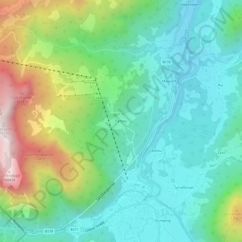
Name: Faistau topographic map, elevation, terrain.
Location: Faistau, Lofer, Bezirk Zell am See, Salzburg, 5090, Österreich (47.57725 12.66993 47.61725 12.70993)
Average elevation: 883 m
Minimum elevation: 556 m
Maximum elevation: 1,693 m