
Dabola topographic map
Interactive map
Click on the map to display elevation.
About this map
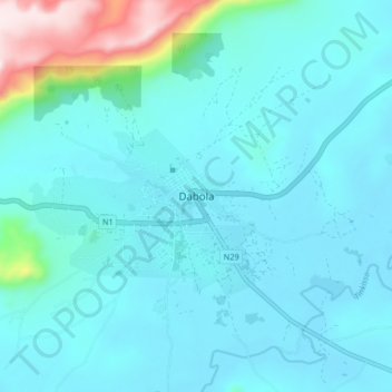
Name: Dabola topographic map, elevation, terrain.
Location: Dabola, Région de Faranah, Guinée (10.70217 -11.14649 10.78217 -11.06649)
Average elevation: 486 m
Minimum elevation: 410 m
Maximum elevation: 998 m