
Iten topographic map
Interactive map
Click on the map to display elevation.
About this map
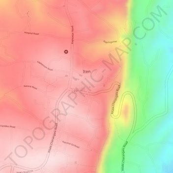
Name: Iten topographic map, elevation, terrain.
Location: Iten, Keiyo North, Elgeyo-Marakwet County, Rift Valley, Kenia (0.66406 35.49880 0.67736 35.51668)
Average elevation: 2,284 m
Minimum elevation: 2,057 m
Maximum elevation: 2,391 m