
Khanyara topographic map
Interactive map
Click on the map to display elevation.
About this map
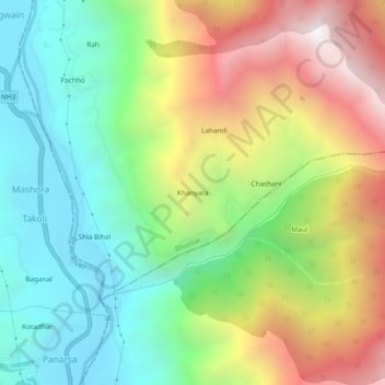
Name: Khanyara topographic map, elevation, terrain.
Location: Khanyara, Bhuntar, Kullu, Himachal Pradesh, 175122, India (31.77805 77.18759 31.81805 77.22759)
Average elevation: 1,662 m
Minimum elevation: 998 m
Maximum elevation: 2,703 m