
Kaman topographic map
Interactive map
Click on the map to display elevation.
About this map
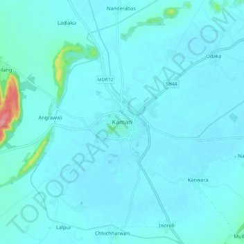
Name: Kaman topographic map, elevation, terrain.
Location: Kaman, Kaman Tehsil, Bharatpur, Rajasthan, 321022, India (27.61260 77.22964 27.69260 77.30964)
Average elevation: 189 m
Minimum elevation: 181 m
Maximum elevation: 283 m