
Thank you for supporting this site ❤️
Make a donation
Make a donation
Kesaram topographic map
Click on the map to display elevation.
Thank you for supporting this site ❤️
Make a donation
Make a donation
About this map
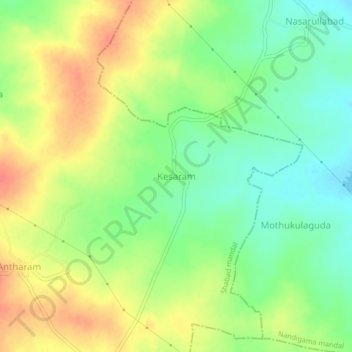
Name: Kesaram topographic map, elevation, terrain.
Location: Kesaram, Shabad mandal, Ranga Reddy, Telangana, India (17.11288 78.15352 17.15288 78.19352)
Average elevation: 640 m
Minimum elevation: 614 m
Maximum elevation: 669 m
Thank you for supporting this site ❤️
Make a donation
Make a donation