
Thank you for supporting this site ❤️
Make a donation
Make a donation
Slaidburn topographic map
Click on the map to display elevation.
Thank you for supporting this site ❤️
Make a donation
Make a donation
About this map
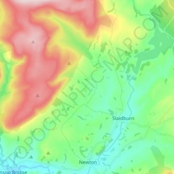
Name: Slaidburn topographic map, elevation, terrain.
Location: Slaidburn, Ribble Valley, Lancashire, England, United Kingdom (53.95181 -2.49995 54.00881 -2.37765)
Average elevation: 251 m
Minimum elevation: 113 m
Maximum elevation: 490 m
Thank you for supporting this site ❤️
Make a donation
Make a donation