
Lanslebourg-Mont-Cenis topographic map
Interactive map
Click on the map to display elevation.
About this map
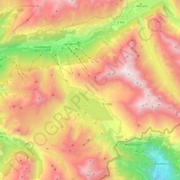
Name: Lanslebourg-Mont-Cenis topographic map, elevation, terrain.
Average elevation: 2,251 m
Minimum elevation: 732 m
Maximum elevation: 3,600 m