
Pedhi topographic map
Interactive map
Click on the map to display elevation.
About this map
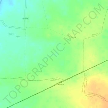
Name: Pedhi topographic map, elevation, terrain.
Location: Pedhi, Bhatkuli, Amravati, Maharashtra, India (20.80851 77.57703 20.82181 77.59284)
Average elevation: 303 m
Minimum elevation: 285 m
Maximum elevation: 320 m