
Arung topographic map
Interactive map
Click on the map to display elevation.
About this map
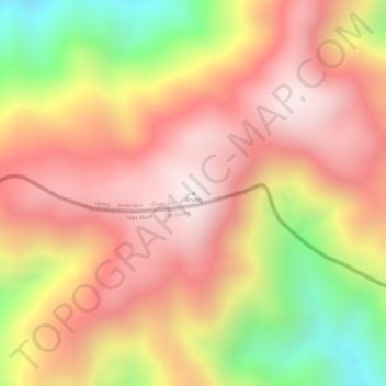
Name: Arung topographic map, elevation, terrain.
Location: Arung, Kaleum District, Sekong Province, Laos (15.89282 107.36430 15.89292 107.36440)
Average elevation: 1,709 m
Minimum elevation: 1,234 m
Maximum elevation: 1,987 m