
Jama topographic map
Interactive map
Click on the map to display elevation.
About this map
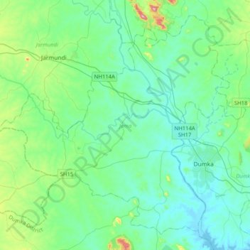
Name: Jama topographic map, elevation, terrain.
Location: Jama, Dumka, Jharkhand, 814110, India (24.18620 86.98450 24.43959 87.30236)
Average elevation: 178 m
Minimum elevation: 117 m
Maximum elevation: 471 m
Other topographic maps
Click on a map to view its topography, its elevation and its terrain.
Dhanbad
India > Jharkhand > Dhanbad-Cum-Kenduadih-Cum-Jagata
Dhanbad has an average elevation of 227 m (745 ft). Its geographical length (extending from north to south) is 15 miles (24 km) and the breadth (stretching across east to West) is 10 miles (16 km). It shares its boundaries with West Bengal in the eastern and southern part, Giridih and Dumka in the North and…
Average elevation: 212 m