
Thank you for supporting this site ❤️
Make a donation
Make a donation
Punta Prima topographic map
Click on the map to display elevation.
Thank you for supporting this site ❤️
Make a donation
Make a donation
About this map
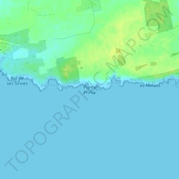
Name: Punta Prima topographic map, elevation, terrain.
Location: Punta Prima, Ciudadela, Menorca, Islas Baleares, España (39.92148 3.86380 39.92158 3.86390)
Average elevation: 4 m
Minimum elevation: 0 m
Maximum elevation: 15 m
Thank you for supporting this site ❤️
Make a donation
Make a donation
Other topographic maps
Click on a map to view its topography, its elevation and its terrain.