
Planta de Agua mal construida topographic map
Interactive map
Click on the map to display elevation.
About this map
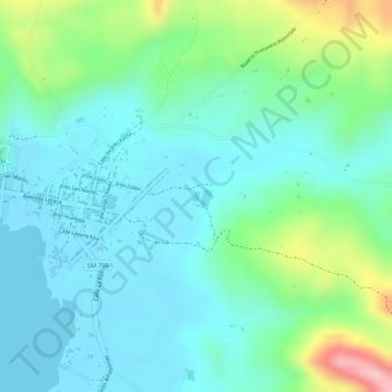
Name: Planta de Agua mal construida topographic map, elevation, terrain.
Location: Planta de Agua mal construida, Sauce, San Martín, Perú (-6.69228 -76.19954 -6.69151 -76.19900)
Average elevation: 652 m
Minimum elevation: 603 m
Maximum elevation: 793 m
Other topographic maps
Click on a map to view its topography, its elevation and its terrain.