
Art Park topographic map
Interactive map
Click on the map to display elevation.
About this map
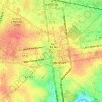
Name: Art Park topographic map, elevation, terrain.
Location: Art Park, 49, Lancaster, Lancaster County, Pennsylvania, USA (40.04102 -76.30832 40.04147 -76.30800)
Average elevation: 111 m
Minimum elevation: 73 m
Maximum elevation: 134 m