
Motanwadi topographic map
Interactive map
Click on the map to display elevation.
About this map
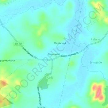
Name: Motanwadi topographic map, elevation, terrain.
Location: Motanwadi, Parle, Chandgad, Kolhapur, Maharashtra, India (15.84522 74.18568 15.88522 74.22568)
Average elevation: 713 m
Minimum elevation: 696 m
Maximum elevation: 780 m