
Thank you for supporting this site ❤️
Make a donation
Make a donation
Lake County topographic map
Click on the map to display elevation.
Thank you for supporting this site ❤️
Make a donation
Make a donation
About this map
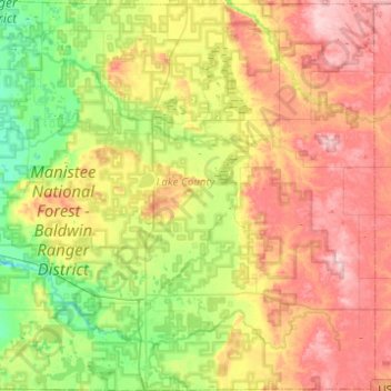
Name: Lake County topographic map, elevation, terrain.
Location: Lake County, Michigan, United States (43.81405 -86.04291 44.16806 -85.56232)
Average elevation: 297 m
Minimum elevation: 207 m
Maximum elevation: 424 m
Thank you for supporting this site ❤️
Make a donation
Make a donation
Other topographic maps
Click on a map to view its topography, its elevation and its terrain.