
Nachan topographic map
Interactive map
Click on the map to display elevation.
About this map
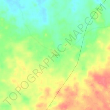
Name: Nachan topographic map, elevation, terrain.
Location: Nachan, Vapy District, Salavan Province, Laos (15.56703 105.96823 15.60703 106.00823)
Average elevation: 226 m
Minimum elevation: 196 m
Maximum elevation: 259 m