
Carvajal topographic map
Interactive map
Click on the map to display elevation.
About this map
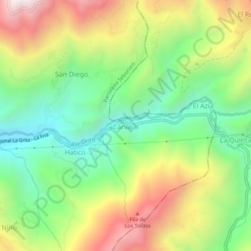
Name: Carvajal topographic map, elevation, terrain.
Location: Carvajal, Municipio Seboruco, Táchira, Venezuela (8.13185 -72.05436 8.17185 -72.01436)
Average elevation: 1,323 m
Minimum elevation: 868 m
Maximum elevation: 1,967 m