
B Ward topographic map
Click on the map to display elevation.
About this map
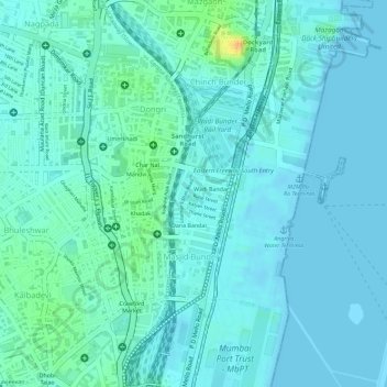
Name: B Ward topographic map, elevation, terrain.
Location: B Ward, Zone 1, Mumbai, Maharashtra, India (18.94747 72.83175 18.96511 72.85106)
Average elevation: 7 m
Minimum elevation: -2 m
Maximum elevation: 37 m
Other topographic maps
Click on a map to view its topography, its elevation and its terrain.