
Shreveport topographic map
Interactive map
Click on the map to display elevation.
About this map
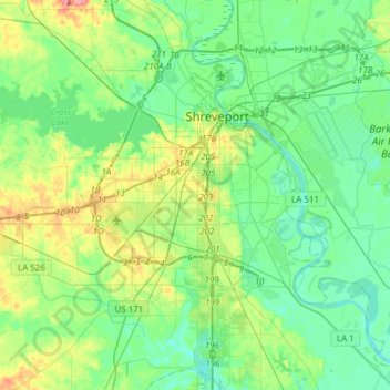
Name: Shreveport topographic map, elevation, terrain.
Location: Shreveport, Caddo Parish, Louisiane, États-Unis d'Amérique (32.33269 -93.94785 32.58987 -93.67972)
Average elevation: 58 m
Minimum elevation: 38 m
Maximum elevation: 112 m