
Niederhelfenschwil topographic map
Interactive map
Click on the map to display elevation.
About this map
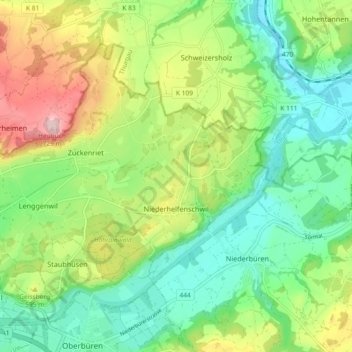
Name: Niederhelfenschwil topographic map, elevation, terrain.
Location: Niederhelfenschwil, Wahlkreis Wil, Sankt Gallen, Schweiz (47.45734 9.11805 47.50408 9.20990)
Average elevation: 552 m
Minimum elevation: 457 m
Maximum elevation: 729 m