
Kent topographic map
Interactive map
Click on the map to display elevation.
About this map
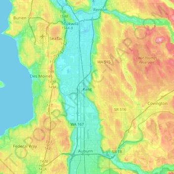
Name: Kent topographic map, elevation, terrain.
Location: Kent, King County, Washington, United States (47.32976 -122.30941 47.44122 -121.99596)
Average elevation: 87 m
Minimum elevation: 0 m
Maximum elevation: 263 m