
Naganakera topographic map
Interactive map
Click on the map to display elevation.
About this map
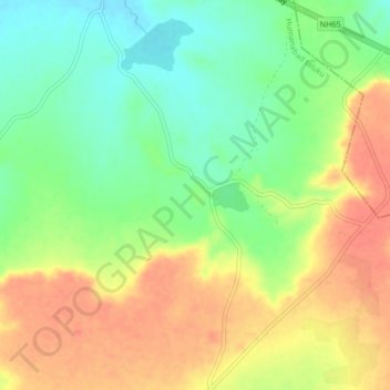
Name: Naganakera topographic map, elevation, terrain.
Location: Naganakera, Humanabad taluku, Bidar district, Karnataka, India (17.70312 77.29399 17.74312 77.33399)
Average elevation: 625 m
Minimum elevation: 598 m
Maximum elevation: 651 m