
Jalangi topographic map
Interactive map
Click on the map to display elevation.
About this map
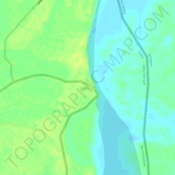
Name: Jalangi topographic map, elevation, terrain.
Location: Jalangi, Murshidabad, West Bengal, 742305, India (24.10528 88.67257 24.14528 88.71257)
Average elevation: 16 m
Minimum elevation: 8 m
Maximum elevation: 25 m