
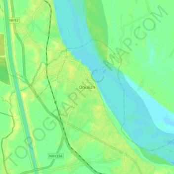
Dhulian topographic map
Interactive map
Click on the map to display elevation.
About this map
Name: Dhulian topographic map, elevation, terrain.
Location: Dhulian, Samserganj, Murshidabad, West Bengal, 742202, India (24.63865 87.91465 24.71865 87.99465)
Average elevation: 22 m
Minimum elevation: 14 m
Maximum elevation: 31 m